


Landmine detection, also known as demining, is the critical process of identifying and locating landmines that are buried deep in the ground. Landmines are frequently deployed in conflict regions, posing a significant threat to both civilian and military personnel as they often remain active for years or decades post conflict.
In light of the historical and current ongoing conflicts in Ukraine, it is of the utmost importance that experts dedicate their efforts towards utilizing advanced technologies to develop a safe, cost-effective landmine detection approach.
To tackle this pressing issue, collaborative efforts are underway among teams from the University of Florence, Franklin & Marshall College, Usikov Institute of Radiophysics and Electronics and Jordan Institute of Science and Technology. They are working on the development of a new paradigm that involves cooperative robotic platforms, multiple sensors and data fusion techniques. Their work is aimed at enhancing the capabilities for surface and buried landmines, with the ultimate goal of being deployed in Ukraine. The work is being sponsored by a grant from the NATO Science for Peace and Security Programme.
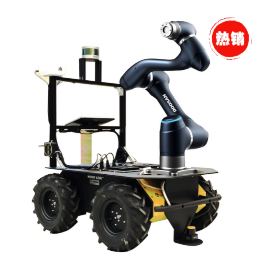
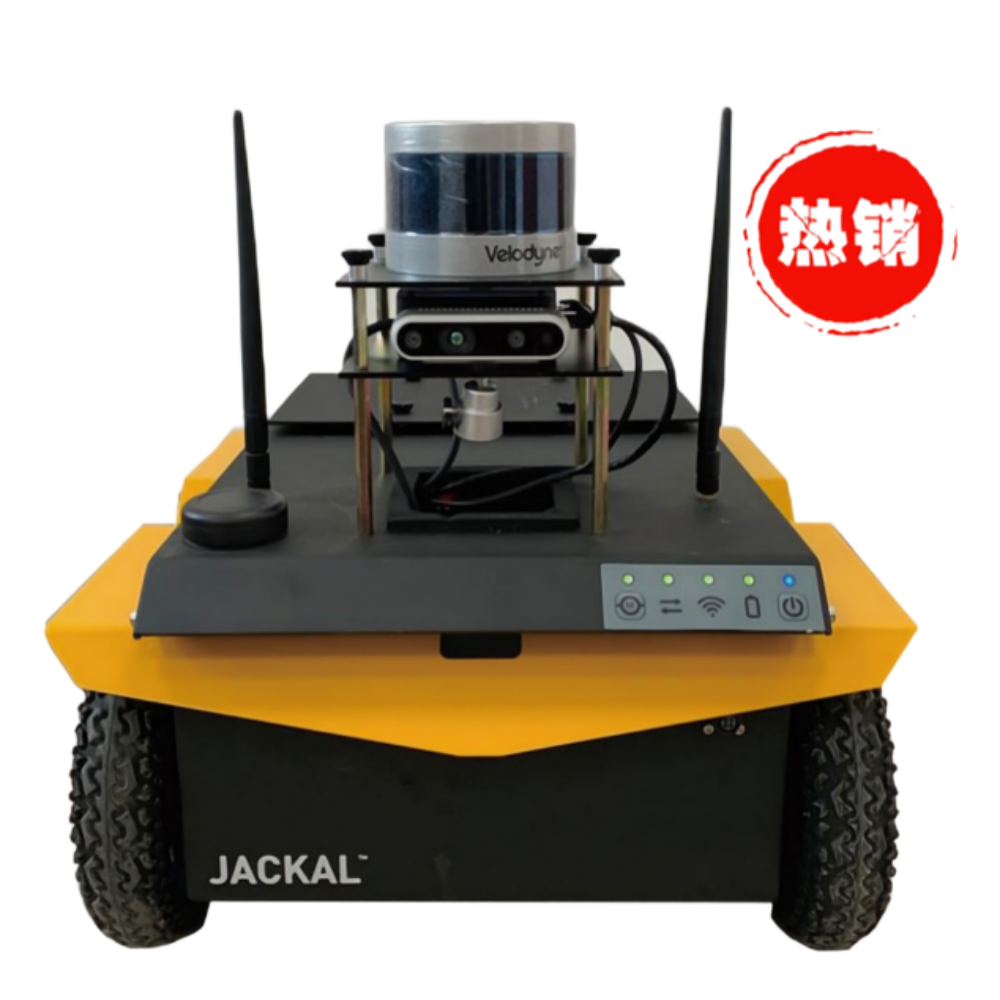
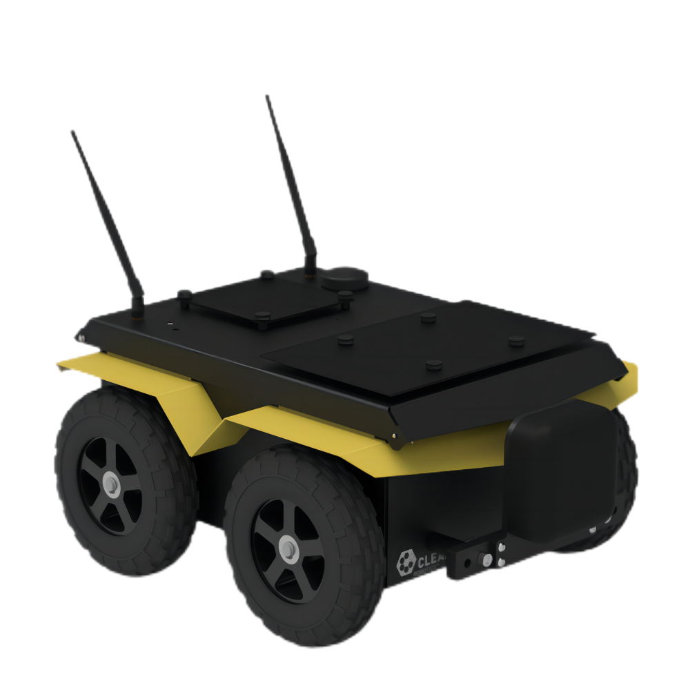
With this approach, the team hopes to address the difficult task of clearing expansive regions in diverse settings such as urban zones, civil areas, infrastructure sites, agricultural fields and cultural heritage sites. Their objective is to achieve this in a manner that prioritizes safety and efficiency. To execute this mission, they have employed a team of Jackal UGVs as base platforms to mount various sensors and Clearpath’s OutdoorNav Autonomy Software for sensor fusion, navigation and target identification in the field. OutdoorNav was utilized for accurate positioning and to geolocate objects that would be identified and characterized by multiple robot visits in the mission. The team of specialized robots aims to act in cooperation to conduct detection, classification and mapping procedures for shallow threats. The robots are designed to be agile, lightweight and optimized for specific tasks.

Robot # 1 initially had a sensor equipped with ultra-wide band impulse ground penetrating radar (GPR) to detect and define coordinates of subsurface objects with electrical properties that differ from the surrounding soil. As the project evolved, the robot was equipped with tripwire detection and an optical detection system, allowing subsequent robots to also avoid tripwires. The robot uses a Graphical User Interface (GUI) for navigation. For the purpose of this project, it is programmed to follow a predefined path, moving in a rectilinear pattern.
Robot # 2 has a metal detection sensor to detect and provide 2D images of objects on or under the ground.
Robot # 3 has a sensor equipped with a holographic radar to provide images of the detected anti-personnel mines in the ground. Using an iPad or an iPhone with AI real time detection and LiDAR, this robot can detect surface objects. The detected object is labeled virtually on the screen as the identification is made.
Essentially, the project involved establishing a system where robots securely share real-time data with remote terminals and portable devices, with the shared data being utilized for the purpose of classifying explosive threats. The project overall yielded positive results with surface and buried threats being detected in simulated minefields.


On August 29, 2023, a final demo was conducted at the Franklin and Marshall College that showcased two of the three robots working together at the F&M site in a simulated minefield with buried mine simulants and clutter. Both robots followed a pre-programmed course and were guided by GPS.

The team successfully demonstrated the functionality of the robots and sensors during the final demo. As a result of this project, they achieved significant advancements in AI-based surface threat detection and tripwire detection. These results enable adaptability for the implementation of a novel cyber-physical system, ensuring replicability across various settings, and accommodating diverse sensors and actuators for future expansion. You can learn more about their final demonstration here.
The team aims to advance their sensor development, conduct additional field tests, establish databases, and facilitate communication between sensors for the storage of both raw data and results. Additionally, there is a potential for emergence of related technologies that could prove valuable for military units operating in Ukraine particularly in detection of surface threats and tripwires using AI.
The team members involved in this project consist of Lorenzo Capineri, Associate Professor (U. Florence), Gennadiy Pochanin, Senior Researcher (Usikov Institute), Tim Bechtel, Professor (Franklin and Marshall College), Khlaed Asfar, Professor (Jordan U. of Science and Tech), Fronefield Crawford, Professor (Franklin and Marshall College).
If you would like to learn more about Demining Robots, you can visit their website and LinkedIn page.


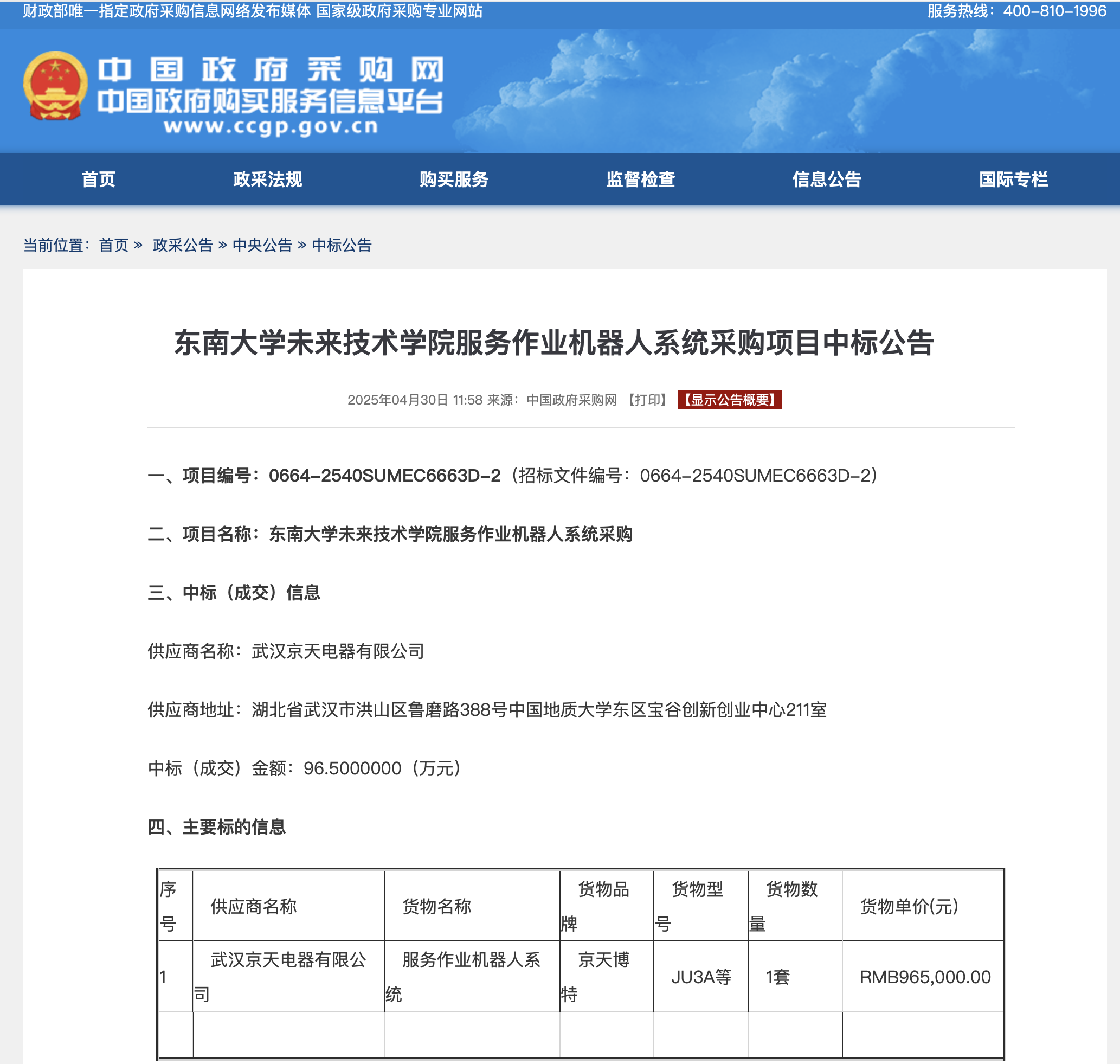
Donghu Robot Laboratory, 2nd Floor, Baogu Innovation and Entrepreneurship Center,Wuhan City,Hubei Province,China
Tel:027-87522899,027-87522877
Robot System Integration
Artificial Intelligence Robots
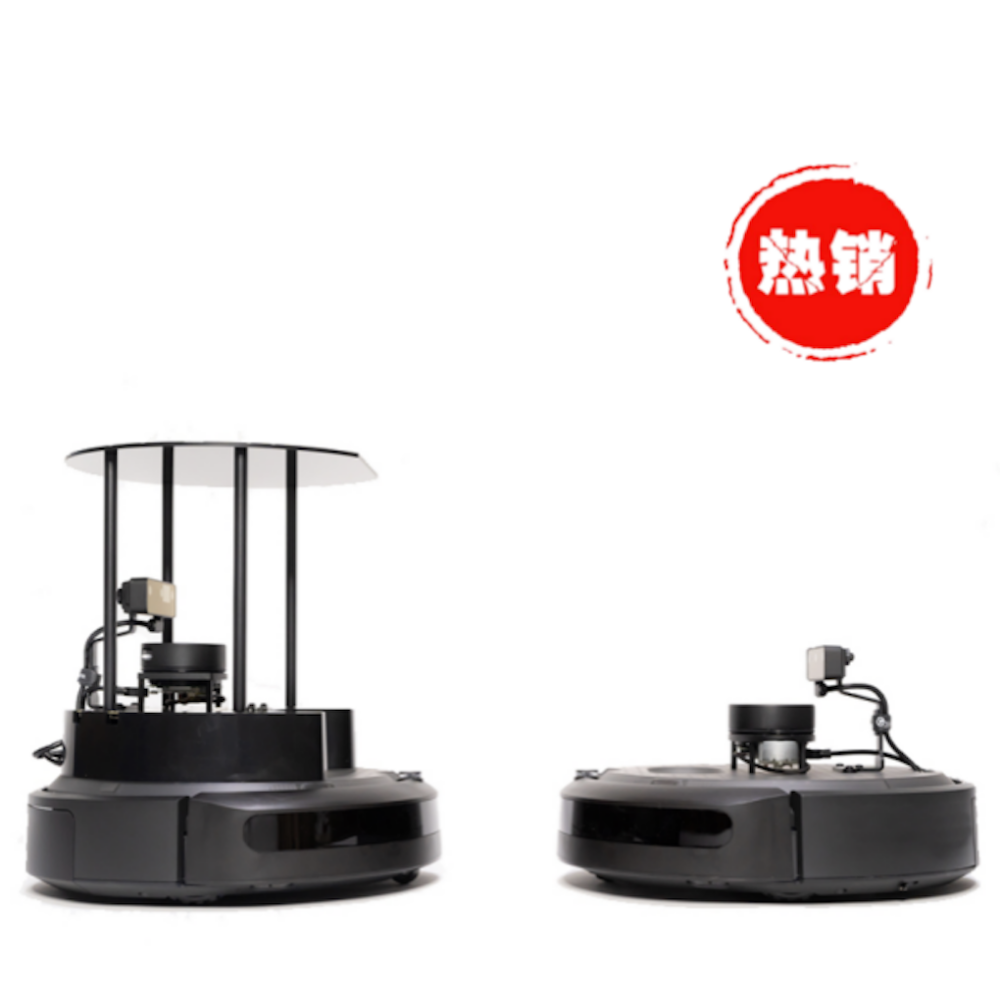
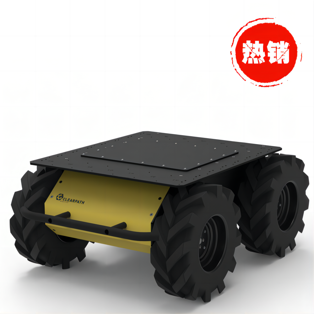
Mobile Robot
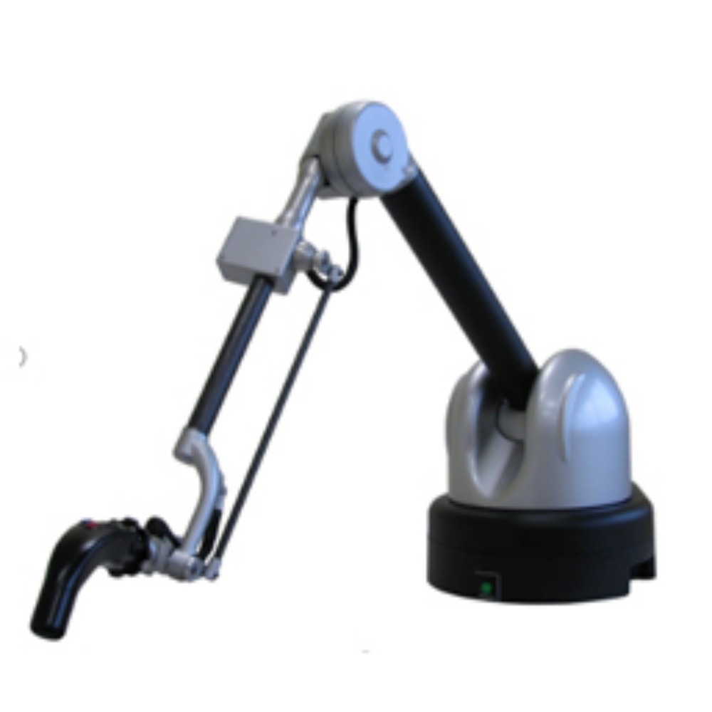
Collaborative Robotic Arm
ROS modular robot
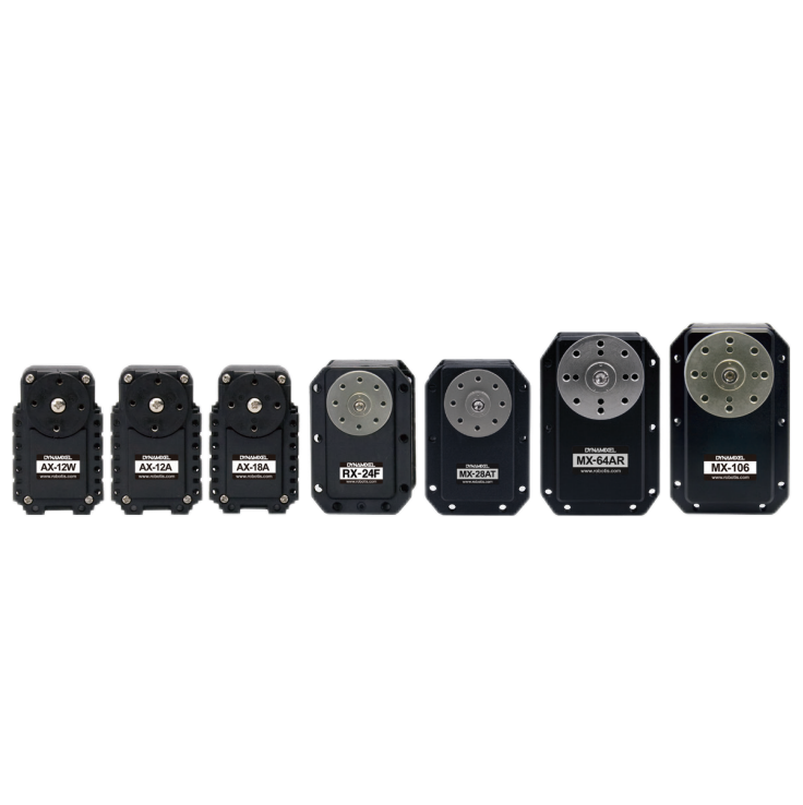
Servo and sensor accessories
Scientific Research
Professional Co Construction
Training Center
Academic Conference
Experimental instruction
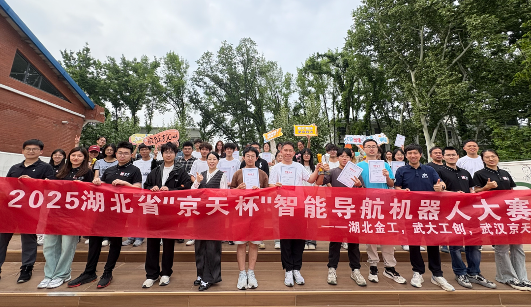
Jingtian Cup Event
Business cooperation: 18062020215
18062020215@qq.com
Pre sales technical support:
Tel 13807184032
 |
 |